படிமம்:Timor.png
Jump to navigation
Jump to search
இந்த முன்னோட்டத்தின் அளவு: 207 × 209 படப்புள்ளிகள் . மற்ற பிரிதிறன்: 994 × 1,006 படப்புள்ளிகள் .
மூலக்கோப்பு (994 × 1,006 படவணுக்கள், கோப்பின் அளவு: 208 KB, MIME வகை: image/png)
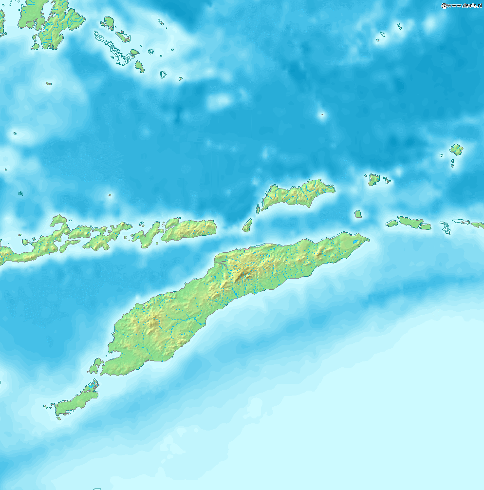
Map of Timor
Bounding box West 122°, South -12°, East 129°, North -5°. Center at 8°30′00″S 125°30′00″E / 8.50000°S 125.50000°E.
This image is in the public domain because it came from the site https://www.demis.nl/products/web-map-server/examples/ and was released by the copyright holder. Permission is granted to copy, distribute and/or modify this map since it is based on free of copyright images from: www.demis.nl. See also approval email on de.wp and its clarification.
|
| This work has been released into the public domain by its copyright holder, www.demis.nl. This applies worldwide. சில நாடுகளில் இது சாத்தியமில்லாது போகலாம். அவ்வாறாயின் : www.demis.nl grants anyone the right to use this work for any purpose, without any conditions, unless such conditions are required by law.
|
கோப்பின் வரலாறு
குறித்த நேரத்தில் இருந்த படிமத்தைப் பார்க்க அந்நேரத்தின் மீது சொடுக்கவும்.
| நாள்/நேரம் | நகம் அளவு சிறுபடம் | அளவுகள் | பயனர் | கருத்து | |
|---|---|---|---|---|---|
| தற்போதைய | 09:53, 12 திசம்பர் 2006 | | 994 × 1,006 (208 KB) | wikimediacommons>Mats Halldin~commonswiki | Map of Timor Bounding box West 122°, South -12°, East 129°, North -5°. Center at {{coor d|8.50000|S|125.50000|E|scale:4200000}}. {{demis-pd}} category:maps of East Timor |
கோப்பு பயன்பாடு
பின்வரும் பக்க இணைப்புகள் இப் படிமத்துக்கு இணைக்கபட்டுள்ளது(ளன):